
Prairieville ZIP Codes and What They Cover
Official State Library and USPS sources verify 70769 for Prairieville. The post office on Airline Highway serves that postal identity, but neither source publishes a complete parcel-by-parcel boundary or acceptable-city list. Nearby codes belong in the postal directory only as context until the USPS address tool confirms a specific delivery point.
| ZIP Code | Areas Covered | Post Office | Notes |
|---|---|---|---|
| 70769 | Verified Prairieville locality and CDP context | Prairieville Post Office | Core project ZIP; verify each address |
| 70734 | Nearby Geismar or Duplessis context | USPS address lookup | Not proven for a Prairieville parcel |
| 70774 | Nearby St. Amant context | USPS address lookup | Adjacent context only |
| 70737 | Gonzales office and mailing context | USPS address lookup | Records office ZIP, not Prairieville proof |
The Prairieville Post Office listing gives 15655 Airline Highway, Prairieville, LA 70769-9997 and phone 225-673-8100. Regular hours shown are weekdays from 8:30 a.m. to 5:00 p.m. and Saturday from 9:00 a.m. to noon. Call before relying on hours. The manifest capture documents the verified office.
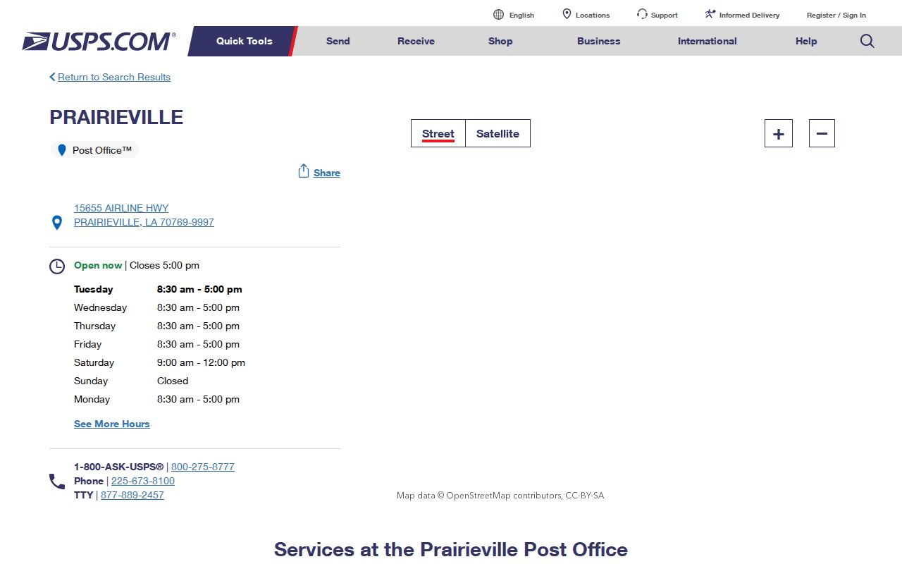
This office record confirms the postal code, not the legal edge of Prairieville.
Verify Prairieville ZIP Addresses
The USPS ZIP Code Lookup is the controlling address-to-ZIP check. Enter the full street address rather than choosing a code from a general map. USPS explains that a ZIP standardizes delivery geography, while ZIP+4 adds a more exact delivery segment. A city label can work across postal areas, and a ZIP may cross familiar place labels.
The address lookup capture shows where that verification begins.
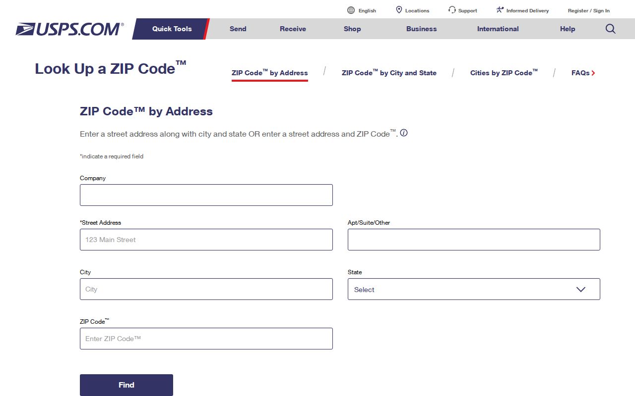
Carry the exact USPS result into voter or parcel searches to reduce false matches.
Prairieville ZIP Search Fields
Two official local systems accept ZIP data in distinct ways. The voter name form requires a five-digit ZIP plus first name, last name, and birth month and year. Its address form requires ZIP and street address, offers an apartment or lot field, and loads the city choice dynamically. Parish GIS includes a Physical Address ZIP Code field for the parcel itself and a separate owner mailing city, state, and ZIP value.
| Portal | ZIP field | Result | Limit |
|---|---|---|---|
| Voter name search | Five digits, required | Named registration context | Protected data withheld |
| Voter address search | ZIP required before address and city | Address-linked voter information | Not a downloadable household roll |
| Parish GIS parcel layer | Physical_Address_Zip_Code | Parcel, owner, situs and legal fields | 2,000-record service maximum |
| Owner mailing field | Owner_CityStateZipCode | Tax-mail destination | Not proof of occupancy |
Keep physical and mailing ZIP values separate. A trust, estate, agent, or former address can receive tax mail while the parcel remains in 70769.
Finding Residents by ZIP Code
A ZIP code is a filter, not a roster. Begin with a verified delivery address, then choose the official roll that answers the question. The voter portal can narrow a named person. GIS can return parcel and owner fields. The assessor offers owner, address, parcel, and subdivision searching, but its exact live ZIP control was not captured.
- Verify the complete address with USPS and record the ZIP or ZIP+4.
- Search parish GIS by physical ZIP, then narrow by street, map extent, or parcel.
- Use the voter name or address form with the same five-digit code.
- Compare owner mailing ZIP with the situs ZIP without merging them.
- Request an official voter extract only through the Secretary of State process when a broad file is truly needed.
Once one code narrows the area, the Prairieville street directory explains the address, parcel, deed, and street-level chain. A ZIP-wide GIS query may exceed the service maximum, so smaller map extents and street filters produce clearer results.
Check ZIPs Near Prairieville
Records offices in Gonzales or Donaldsonville and postal localities such as Geismar or St. Amant can appear beside Prairieville research. Their codes do not become Prairieville ZIP codes merely because they are nearby or within Ascension Parish. Verify 70734, 70774, 70737, or any other code against the exact street address.
A 2014 Postal Bulletin contains a table involving 70734 and Prairieville-related postal changes, but the captured table did not support a firm effective date or route claim. Treat it as a lead for historical address research. Test old post-office names, rural routes, subdivision, lot and block, and the Clerk's legal description instead of inventing a ZIP split.
Read Prairieville Postal Geography
The Census identifies Prairieville as a census-designated place, while USPS defines delivery geography and Ascension GIS stores parcel geography. These layers answer different questions. The Census table describes a statistical place. USPS tells mail where to go. GIS connects an address point to a parcel, subdivision, districts, zoning, flood layers, and legal-record clues.
The Census TIGERweb CDP table is useful for seeing Prairieville's statistical identity.
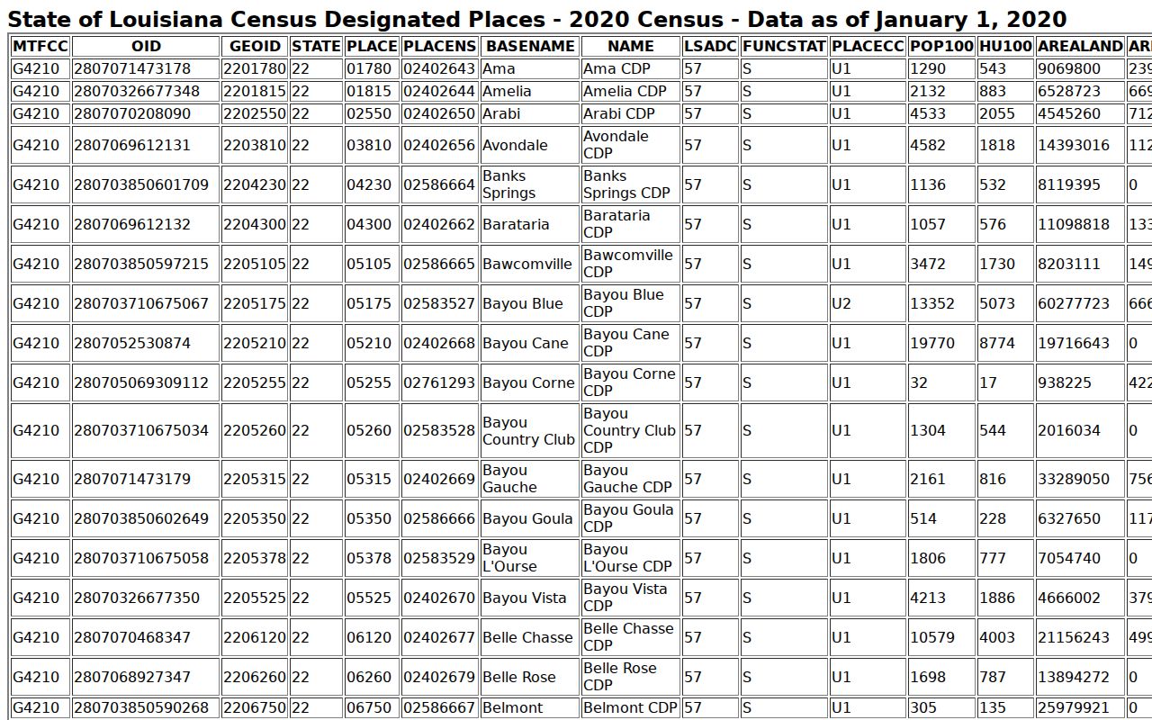
The CDP row should not be used as a USPS route boundary or parcel title record.
Bridge Prairieville ZIP Records
A ZIP result becomes much more useful when joined to the parcel's other address keys. Ascension GIS stores the physical address number, street name, direction, city, state, and ZIP beside parcel, lot, block, subdivision, township and range fields. The assessor adds owner mailing information, prior-owner and sale clues, legal description, and deed references. The Clerk's recorded act, map, book, or page supplies the legal-record endpoint.
Save each label exactly as the custodian presents it. The physical ZIP tells where the parcel address falls in the service data. The owner ZIP tells where the assessment notice goes. A subdivision name groups platted lots. The legal description identifies land independent of the everyday street label. If one field disagrees with another, do not choose the one that looks familiar. Check the recorded deed or survey and ask the office that controls the disputed field.
This bridge also helps with older searches. A past document may use a rural route, nearby post-office name, or lot and block instead of today's street form. Search both versions and use the parcel or legal description to show that they refer to the same tract. That method is more reliable than assigning an old record to Prairieville solely because a modern postal directory now places the area near 70769.
ZIP Code Boundaries vs Prairieville City Limits
Prairieville has no municipal city limit because it is unincorporated. Its familiar community name, Census CDP, USPS delivery area, assessor physical city, owner mailing city, subdivision, and Clerk legal description may all differ. A Prairieville postal directory must keep those labels in their own lanes. Use USPS for delivery, GIS and survey or deed data for location, and the Clerk record for legal description.
When an address is disputed, preserve the exact mailing form and parcel number. Then contact Parish GIS or Planning and the applicable emergency-addressing office. No verified local renumbering formula or Prairieville street-renaming year was found, so old addresses should be tested by street spelling, rural route, subdivision, lot, block, and prior postal place.
- ZIP vs ZIP+4
- A five-digit delivery area versus a more exact delivery segment.
- PO-box ZIP
- A code used chiefly or only for post-office boxes.
- Unique ZIP
- A code assigned to one large organization or delivery recipient.
- Carrier route
- The smaller sequence of addresses served by one postal route.